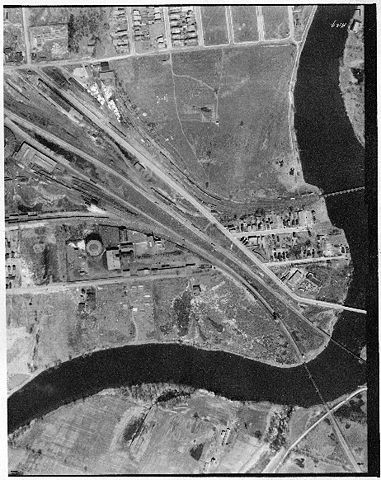
Ottawa aerial photo - lower Chapel Street Ottawa - 1928 (1)
From RCSigs.ca

Description
An aerial photo of lower Chapel Street, Ottawa Ontario, taken in 1928. In the center of the field is believed to be the Wireless Station - Ottawa (Chapel Street).
Credit: National Air Photo Library
Geographic extent: North 45.422658
                   South 45.409628
                   East -75.662412
                   West -75.679694
Title: photo_19280511_N45416W075671
File usage
The following page links to this file: